Captain Seagull's Coast of Connecticut and Fisher's Island Inshore Nautical Chart
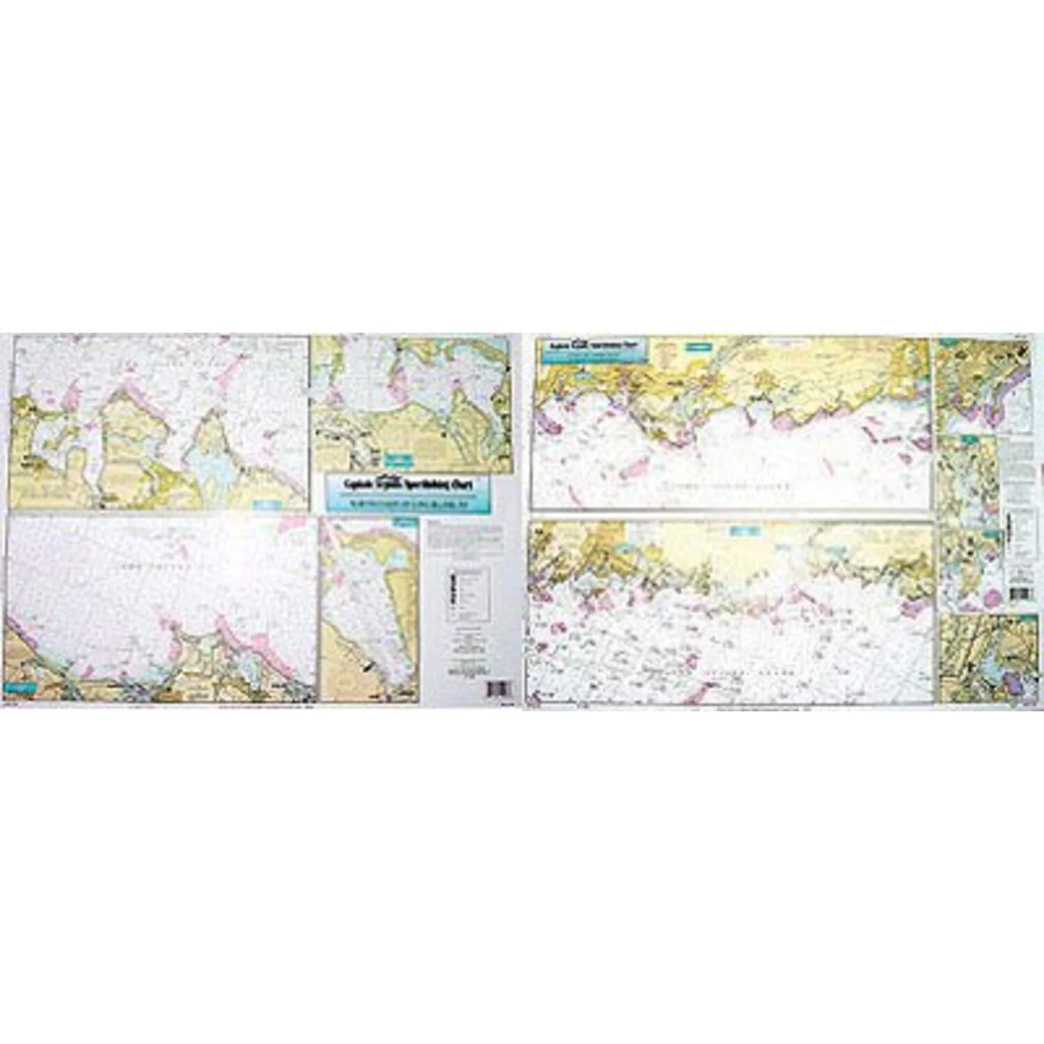
Captain Seagull's Coast of Connecticut and Fisher's Island Inshore Nautical Chart is an inshore chart 1-2 miles off the coast detailing the bays. Chart is 19 x 26 inches, double sided, and laminated.
Detailing the bays, covering eastern half of CT. Watch Hill, RI to Fishers Is. to West Haven, Conn. & Thames Rivers. All charts include GPS coordinates, wrecks, reefs, shoals, fishing areas, amenities and restrictions.
Captain Seagull's Coast of Connecticut and Fisher's Island Inshore Nautical Chart - Model # FI105
Captain Seagull's Coast of Connecticut and Fisher's Island Inshore Nautical Chart
Captain Seagull's Coast of Connecticut and Fisher's Island Inshore Nautical Chart is an inshore chart 1-2 miles off the coast detailing the bays. Chart is 19 x 26 inches, double sided, and laminated.
Detailing the bays, covering eastern half of CT. Watch Hill, RI to Fishers Is. to West Haven, Conn. & Thames Rivers. All charts include GPS coordinates, wrecks, reefs, shoals, fishing areas, amenities and restrictions.
Captain Seagull's Coast of Connecticut and Fisher's Island Inshore Nautical Chart - Model # FI105
Product Information
Product Information
Shipping & Returns
Shipping & Returns
Description
Captain Seagull's Coast of Connecticut and Fisher's Island Inshore Nautical Chart is an inshore chart 1-2 miles off the coast detailing the bays. Chart is 19 x 26 inches, double sided, and laminated.
Detailing the bays, covering eastern half of CT. Watch Hill, RI to Fishers Is. to West Haven, Conn. & Thames Rivers. All charts include GPS coordinates, wrecks, reefs, shoals, fishing areas, amenities and restrictions.
Captain Seagull's Coast of Connecticut and Fisher's Island Inshore Nautical Chart - Model # FI105