Captain Seagull's Nearshore NY Inshore Nautical Chart
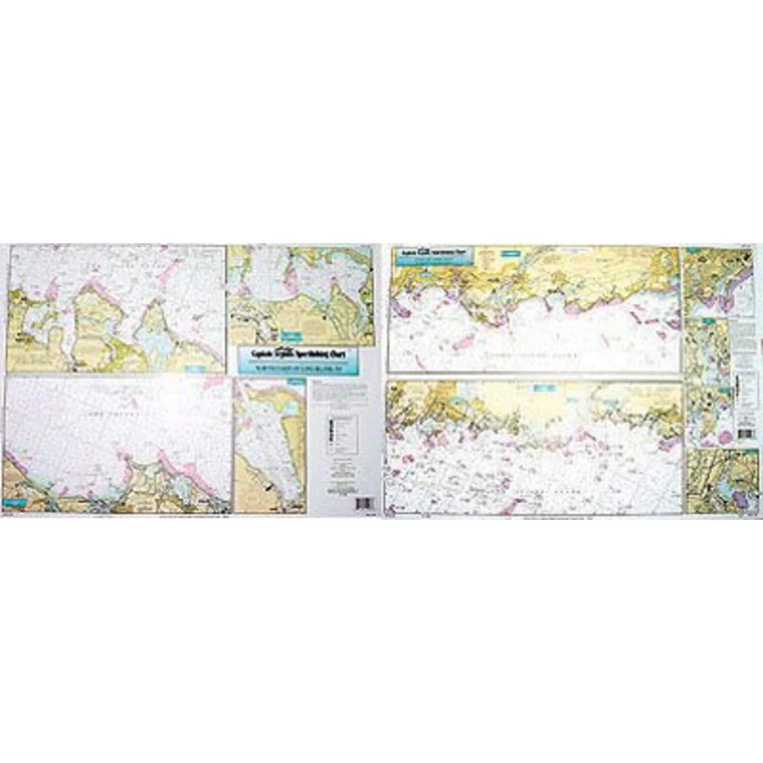
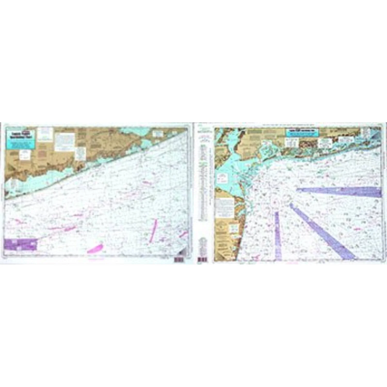
Captain Seagull's Nearshore NY Inshore Nautical Chart is a nearshore chart showing 20 - 30 miles off. Chart is 19 x 26 inches, double sided, and laminated. South side of Long Island, NY and New Jersey.
Highlighting the wrecks and reefs off New York and New Jersey. From Shinnecock, NY to Seagrit, NJ. All charts include GPS coordinates, wrecks, reefs, shoals, fishing areas, amenities and restrictions.
Captain Seagull's Nearshore NY Inshore Nautical Chart - Model # ONY59
Original: $20.99
-65%$20.99
$7.35Captain Seagull's Nearshore NY Inshore Nautical Chart
Captain Seagull's Nearshore NY Inshore Nautical Chart is a nearshore chart showing 20 - 30 miles off. Chart is 19 x 26 inches, double sided, and laminated. South side of Long Island, NY and New Jersey.
Highlighting the wrecks and reefs off New York and New Jersey. From Shinnecock, NY to Seagrit, NJ. All charts include GPS coordinates, wrecks, reefs, shoals, fishing areas, amenities and restrictions.
Captain Seagull's Nearshore NY Inshore Nautical Chart - Model # ONY59
Product Information
Product Information
Shipping & Returns
Shipping & Returns
Description
Captain Seagull's Nearshore NY Inshore Nautical Chart is a nearshore chart showing 20 - 30 miles off. Chart is 19 x 26 inches, double sided, and laminated. South side of Long Island, NY and New Jersey.
Highlighting the wrecks and reefs off New York and New Jersey. From Shinnecock, NY to Seagrit, NJ. All charts include GPS coordinates, wrecks, reefs, shoals, fishing areas, amenities and restrictions.
Captain Seagull's Nearshore NY Inshore Nautical Chart - Model # ONY59